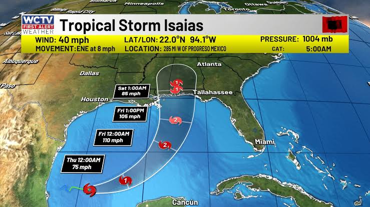


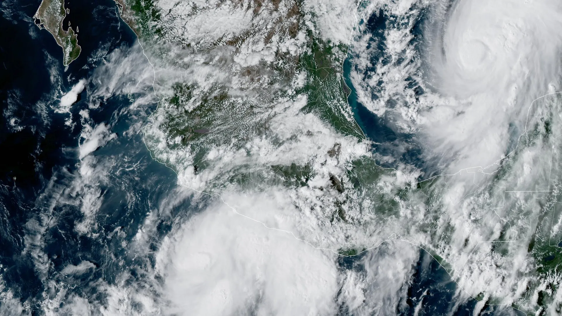
Overnight, Isaias strengthened into a hurricane as it pushed toward the U.S. East Coast, with some reports noting the system nearly tied a 121-year-old mark for the latest-forming hurricane in parts of the region. Forecasters emphasized a mix of strong winds, heavy rain, and localized flooding as the storm moved northward, and emergency managers urged residents to follow local guidance.
Where the storm stands and what to expect
The National Hurricane Center (NHC) issues regular advisories and forecast updates while monitoring Isaias’ track and intensity. These advisories describe the storm’s center, expected path, and potential hazards, including tropical-storm- to hurricane-force winds, storm surge along vulnerable coastlines, and heavy rainfall inland that can cause flash and urban flooding. For the latest official forecast products, consult the NHC: https://www.nhc.noaa.gov/.
Why the “late-forming” note matters
A reference to a “121-year-old record” highlights how unusual storm timings are part of local historical comparisons. Whether an individual storm sets or nears a long-standing local record, the broader pattern of storm season behavior is what scientists and emergency managers watch most closely. Long-term records help communities understand changing exposure and prepare for storms that may arrive earlier or later than historical averages.
Context: Hurricanes, trends, and climate connections
Over recent decades, research and national assessments have documented shifts in tropical cyclone behavior. Key findings from climate and meteorological agencies include:
- While total storm counts can vary year to year, warmer ocean temperatures and changing atmospheric patterns favor a greater proportion of high-intensity storms and a higher risk of rapid intensification events. See NOAA’s primer on hurricanes and climate connections: https://www.climate.gov/news-features/understanding-climate/climate-change-and-hurricanes.
- Attribution science and the Intergovernmental Panel on Climate Change (IPCC) reports indicate with high confidence that warmer seas and a moister atmosphere influence storm intensity and rainfall rates: https://www.ipcc.ch/report/ar6/wg1/.
- Operational forecasts and post-storm analyses from the NHC provide case-by-case scientific evaluation of each storm’s behavior and impacts. For a detailed case study of Hurricane Isaias (2020), see the NHC’s tropical cyclone report archive: https://www.nhc.noaa.gov/data/tcr/AL092020_Isaias.pdf.
Impacts to watch for — and immediate safety steps
Storm impacts can include power outages, downed trees, coastal inundation, flash flooding, and hazardous travel conditions. Residents in threatened areas should:
- Monitor official forecasts from the NHC and local weather offices and sign up for local emergency alerts.
- Secure outdoor items, prepare an emergency kit with food, water, medicines and important documents, and have a plan for vulnerable household members and pets. FEMA’s preparedness guidance is a helpful checklist: https://www.fema.gov/disaster/hurricane.
- Follow evacuation orders and instructions from local officials immediately—delays can be dangerous when storm surge or flash flooding threatens.
Looking ahead
Even after the center passes, heavy rainfall and flooding threats can persist inland for days. Recovery from power outages and flood damage can take time, so residents should document damage for insurance and aid purposes and follow local disaster-recovery guidance.
For real-time official updates, watches and warnings, and preparedness resources, use these primary sources:
- National Hurricane Center (forecasts and advisories): https://www.nhc.noaa.gov/
- NOAA climate and hurricane science resources: https://www.climate.gov/news-features/understanding-climate/climate-change-and-hurricanes
- IPCC Sixth Assessment Report (context on climate change): https://www.ipcc.ch/report/ar6/wg1/
- FEMA hurricane preparedness and recovery guidance: https://www.fema.gov/disaster/hurricane
- NHC Tropical Cyclone Report archive (past storms and detailed analyses): https://www.nhc.noaa.gov/data/tcr/
If you are in the storm’s path: stay informed through official channels, follow local emergency instructions, and prioritize safety for yourself and neighbors.